
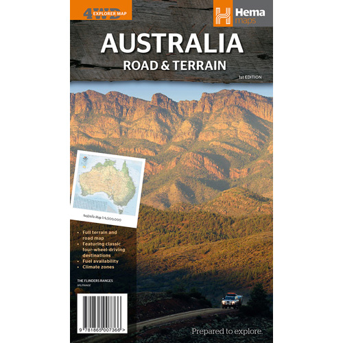
Hema Australia Road & Terrain Map
Australia Road & Terrain Map
A coloured road and terrain map of Australia
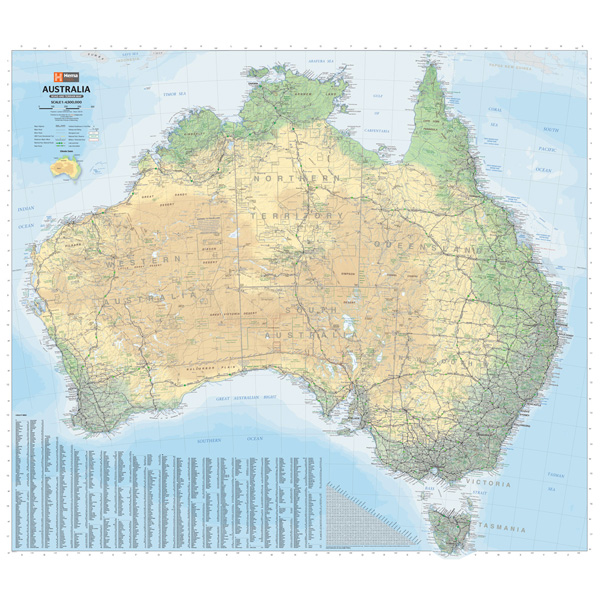
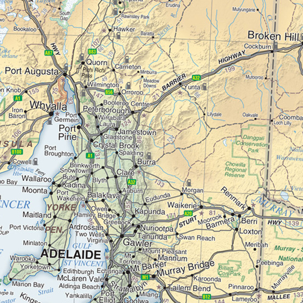
A road and terrain map of Australia that is coloured to reflect the country’s climate zones and features major road networks, Outback fuel, distances and major national parks.
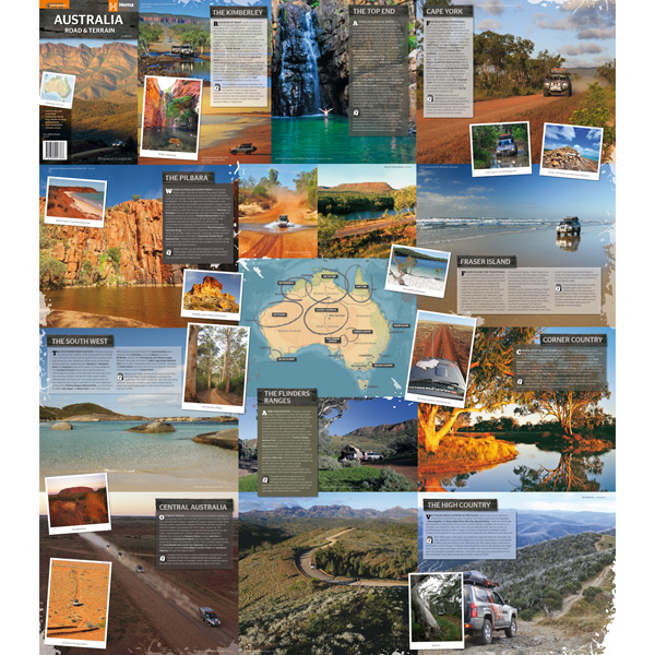
On the reverse is a photographic guide to Australia’s most iconic four-wheel driving destinations, including the Kimberley, Cape York, the Top End, Fraser Island, Corner Country, High Country Victoria, the Flinders Ranges, the Red Centre, South West Western Australia and the Pilbara.